
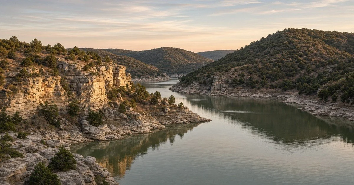
Living on Lake Travis, Texas: What I Tell Buyers About the Water Level Before the View
Everyone who looks at Lake Travis falls for the view. Almost nobody asks me the question that decides how that view feels in August: where is the water? I'm Felix, a Texas Realtor, and I live in Cedar Park. Before the bottom of this page, I'll show you three things.
First, the lowest and highest levels the lake has ever recorded, with dates. Second, which parts of the shoreline the public can reach through county parks, with acreage. Third, how the towns around the lake compare on price and commute, in one table. Stay with me for the first one, because it is the part listing photos do not show.
The lake in one paragraph
Lake Travis is a Lower Colorado River Authority reservoir on the Colorado River, about 13 miles northwest of Austin, with a surface area of 19,297 acres at conservation pool, according to the Texas Water Development Board. The lake is operated for flood control, water supply, power generation and recreation. That last point matters most for buyers: the lake is a working reservoir, not a pond, so its level moves.
This page is the lifestyle guide to the lake itself. For homes for sale around it, see my Lake Travis homes page. Each town has its own page too: Lakeway, Bee Cave, Steiner Ranch and Lago Vista.
What the level has actually done
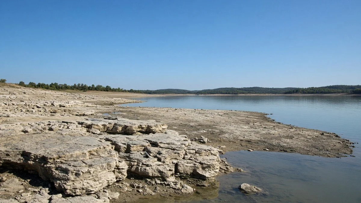
Here is the first thing I promised. According to the LCRA, Lake Travis is considered full for water-supply purposes at 681 feet above mean sea level. Above that is the flood pool, which extends to the 714-foot crest of the emergency spillway. Here are the recorded extremes:
- All-time low: 614.18 feet on Aug. 14, 1951.
- The 2013 drought low: 618.56 feet on Sept. 20, 2013, the third-lowest level ever recorded.
- All-time high: 710.44 feet on Dec. 25, 1991.
- The Oct. 20, 2018 flood: 704.39 feet, the fifth-highest level on record.
That is a range of nearly 100 feet between the lowest and highest ever recorded. In practical terms, a dock, a ramp or a shoreline view can look very different from one year to the next. Whether a particular house keeps usable water at a lower level is an address question, and I do not guess about it. I tell you what to check and who to ask, and your own inspector and surveyor decide the rest.
Where the public can reach the water
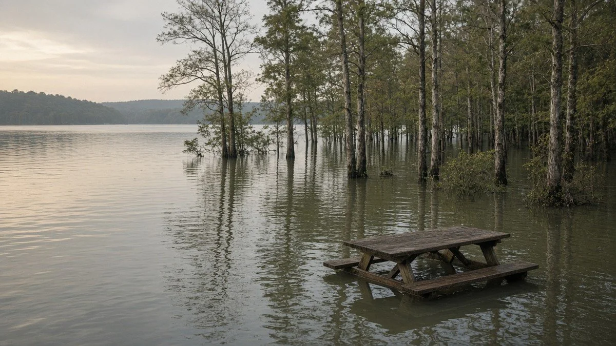
Travis County parks run several lake parks, and they are the honest answer if you want the lake without owning shoreline. Here is what the county says about four of them:
- Pace Bend Park: 1,368 acres with more than nine miles of Lake Travis shoreline.
- Arkansas Bend Park: 323 acres with two boat ramps and 18 improved campsites.
- Mansfield Dam Park: 71 acres with a 24-hour boat ramp, lake access, fishing, trails and scuba-diving facilities.
- Bob Wentz Park at Windy Point: 211 acres supporting swimming, windsurfing, sailing, scuba diving and a non-motorized-watercraft boat ramp.
Individual communities have their own lake access too. Steiner Ranch has a Lake Club for residents, and Lakeway has a 64-acre waterfront city park. Fees, hours and rules change, so I check the current page for each before you plan around it.
The towns around the lake, side by side
Here is the third thing. This is a national home value index that tracks the typical middle-tier home, single-family and condo, smoothed to take out month-to-month noise. These are the figures as of Sep 30, 2026. The table adds the change from a year earlier and the Census Bureau's average commute for workers who live in each place.
| City | Typical home value, Sep 30, 2026 | Change from Sep 30, 2025 | Average commute, minutes |
|---|---|---|---|
| Lakeway | $733,247 | up 0.3% | 28.8 |
| Bee Cave | Not broken out in this data | Not broken out | 22.1 |
| Steiner Ranch | Not broken out in this data | Not broken out | Not listed |
| Lago Vista | $392,375 | down 3.7% | 34.7 |
| Austin | $491,960 | down 3.2% | 23.7 |
Home values come from a national home value index for middle-tier single-family homes and condos, smoothed to take out month-to-month noise. Commute is the Census Bureau's 2020 to 2024 average for workers who commute. Some city rows may include areas outside the city limits. Steiner Ranch is part of Austin, and Bee Cave is not broken out in this index.
Read it slowly. Lakeway's typical value is $733,247 and Lago Vista's is $392,375, a gap of $341,000. Lakeway's index rose over the year, 0.3 percent, while Lago Vista's fell 3.7 percent. Lakeway's average commute is 28.8 minutes, Bee Cave's is 22.1 and Lago Vista's is 34.7. An average hides your worst morning, so I ask where you work first.
An index is a map, not a price tag, and I can't tell you where it goes next. For the sold market, Unlock MLS, the Central Texas MLS, reported a median sold price of $421,000 for the Austin-Round Rock-San Marcos area in September 2026, with 5.4 months of inventory and homes closing at an average of 92.7 percent of their original list price. That is a different measure than the index, so don't line the two up as if they were the same thing.

The straight talk
- The lake level is a fact you can look up, and it is a risk you can't control. I show you the history so it is a choice, not a surprise.
- Owning shoreline is not the only way to use the lake. County parks give public access with boat ramps.
- The towns around the lake are very different in price and commute. Lakeway and Lago Vista are about $341,000 apart on the index.
- Each address has its own questions: access, rules and what the lake level does to that stretch of shore.
What changes the bill at an address
Texas has no state property tax. Local taxing units set the rates, so two lake-area homes can carry different bills. A lake address can be taxed by a city, a county, a school district and any special district that covers it, and some communities have their own associations. I look up each one and put the full yearly cost next to the price. Your own tax professional should confirm your bill.
Who the lake fits
It fits you if the water is the point and you are willing to learn the level history and the address-level questions. It fits less well if you need a predictable shoreline. Both answers are fine.
Moving from out of state? I wrote a guide for each starting point: Moving From California to Austin, Moving From New York to Austin, Moving From Dallas to Austin and Moving From Chicago to Austin.
Nobody can promise you where rates or prices go from here, and I won't try. What I can show you is the September picture from Unlock MLS: rising mortgage rates slowed sales in the Austin area, with closed sales down 14.8 percent from a year earlier and 13,465 active listings. The one thing in your hands is readiness. Start your file now and I am already working from your list when the right home shows up.
How it works with me
- You start your file. Tell me about your timeline and where you are in the process. I text you and send my agreement the same day.
- We talk it through. Your must-haves, your commute, what you want around you and what you want in your budget.
- I send you homes that fit that list, with what is around each one, so you are not scrolling through noise.
- We tour together. I walk each home with you and tell you what I notice. I have experience in building homes, and a licensed inspector is always your call.
- You choose. Every lender, insurer and warranty company is your decision.
- Closing. I attend every closing, and I am there at the table with you.
My services are fiduciary in nature, so I can only work for clients. When you start a file, I am on your side of the table.
How big is Lake Travis?
The Texas Water Development Board says Lake Travis has a surface area of 19,297 acres at conservation pool. It is about 13 miles northwest of Austin and is owned and operated by the Lower Colorado River Authority.
How low has Lake Travis been?
According to the LCRA, the lowest recorded level was 614.18 feet on Aug. 14, 1951. The 2013 drought low was 618.56 feet on Sept. 20, 2013, the third-lowest ever recorded.
How high has Lake Travis been?
The highest recorded level was 710.44 feet on Dec. 25, 1991. The Oct. 20, 2018 flood reached 704.39 feet, the fifth-highest on record. The lake is considered full for water-supply purposes at 681 feet.
Can the public get to Lake Travis?
Yes, through Travis County parks. Pace Bend Park has more than nine miles of shoreline, Arkansas Bend Park has two boat ramps, Mansfield Dam Park has a 24-hour boat ramp, and Bob Wentz Park at Windy Point supports swimming and sailing.
Which towns are on Lake Travis?
Lakeway, Bee Cave, Steiner Ranch in Austin and Lago Vista are the ones I cover. I have a page for each.
Why does the tax bill change by address near the lake?
Texas has no state property tax and local units set rates. A lake-area address can be taxed by a city, a county, a school district and any special district that covers it, and some communities have their own associations. I check each.
Do you rank schools or neighborhoods?
No. I don't rank schools or neighborhoods, and I don't make claims about who lives where. Each school district publishes its own information and boundaries, and I will point you to the official source for any address you are considering. What I can do is match homes to your commute and to what is around them, like trails, lakes, parks and shopping.
Do I need to be in Austin to get started?
No. Start your file, tell me where you are in your plan, and I will tell you what is best done in person. Then we plan your visit around a short list of homes that fit.
Who do you work for, and will you be at my closing?
My services are fiduciary in nature, so I can only work for clients. When you start a file, I am on your side of the table. Yes, I attend every closing, and I am there at the table with you.
Ready? Open your file and I will text you today. No pressure, just a clear list built around your life.
Important: I'm a Texas Realtor, not an attorney, tax advisor, lender, appraiser or inspector. The figures on this page come from the U.S. Census Bureau, the Lower Colorado River Authority, the Texas Water Development Board, Travis County Parks, the Texas Comptroller, Unlock MLS and a national home value index, were pulled on Nov 2, 2026, and can be revised or change. Nothing here is tax, legal, lending or appraisal advice, a price opinion for any home, or a recommendation of any company. Property tax and income tax outcomes depend on your situation and the address, so check with your own tax professional. I list places by what is there and by commute, and I do not rank or describe neighborhoods by who lives in them.
Related: Moving From California to Austin · Moving From Chicago to Austin · Moving From New York to Austin · Moving From Dallas to Austin · Lake Travis homes · Lakeway · Bee Cave · Lago Vista
Texas Realtor · TREC 667130 · All City Real Estate
Equal Housing Opportunity.